British Isles - Willem Blaeu, c. 1645 1645
Willem Janszoon Blaeu
Stampaincisione
41 ⨯ 52 cm
€ 1.650
Inter-Antiquariaat Mefferdt & De Jonge
- A proposito di opere d'arteBLAEU’S HEPTARCHY MAP “Britannia prout divisa fuit temporibus Anglo-Saxonum praesertim durante illorum Heptarchia.” Copper engraving published by Willem Blaeu in Amsterdam c. 1645. Verso text in Latin. With original hand colouring. Size: 41,2 x 52,6 cm. Wonderful map of Anglo-Saxon England flanked by intricately rendered portraits of the kings of the 5th through 7th centuries. The monarchs to the left are those of the pre-Christian era, while those on the right are depicted receiving Christianity or being martyred for its sake. Sebert of Essex can be seen in the second panel down on the right re-consecrating the temples of Apollo and Diane; they would become St. Paul’s Cathedral in London, and St. Peter’s at Westminster. This is often called the Heptarchy Map, as it presents England during the time following the Anglo Saxon conquest of southern England, approximately from 500 to 850 A.D., which is known as the Heptarchy Period. (The word itself refers to the seven kingdoms that would eventually combine to form the Kingdom of England in the 10th century.) The map shows England divided into the seven Saxon kingdoms, each decorated with its coat-of-arms. Scotland, Wales, and part of Ireland are also shown with their arms. The kings are shown with their escutcheons and their forces (townships) named. The vignettes flanking the two sides are identical in subject matter to those used in 1626 on a map by John Speed, but the execution of each is in the style of "an unmistakeable Dutch miniature". Price: Euro 1.650,-
- A proposito di opere artista
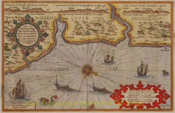
"Willem Janszoon Blaeu e suo figlio Joan incarnavano l'"età d'oro" della cartografia olandese. Lavorando durante il diciassettesimo secolo, Willem Blaeu disegnò una serie di mappe rivoluzionarie e pubblicò il primo atlante.
Nacque nel 1571 ad Amsterdam e lavorò inizialmente come impiegato nel commercio di aringhe di famiglia. Tuttavia, non era contento della sua occupazione e lasciò la casa nel 1594 per studiare matematica sotto Tycho Brahe, il famoso astronomo. Blaeu era un bravo studente che impressionò molto il suo tutor, e quando i suoi studi furono completati tornò ad Amsterdam e iniziò un'attività come cartografo. La sua attività fiorì e la sua reputazione crebbe. Fu il primo cartografo a produrre mappe a foglio singolo di molti paesi europei.
Nel 1605 realizzò una mappa murale del mondo, comprendente 20 fogli, ciascuno largo 8 piedi. Questa mappa era di gran lunga la più accurata del periodo e ha dato un contributo eccezionale alla conoscenza della geografia mondiale.
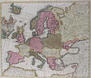
La sua mappa rimase la più accurata fino al 1648, quando suo figlio, Joan, che divenne anche un famoso cartografo, la aggiornò. Ma il suo risultato più importante fu la produzione del primo atlante nel 1630. Il nome Blaeu era in realtà un soprannome di famiglia che Willem assunse dopo che si era verificata confusione tra lui e il suo grande rivale Joannes Jansonius.
Sei interessato ad acquistare questa opera d'arte?
Artwork details
Related artworks
- 1 - 4 / 7
Vincent Laurensz van der Vinne
Portrait of a man and woman1640 - 1650
Prezzo su richiestaArt Gallery Voûte
Artista Sconosciuto
Dutch School pair of equestrian paintings 1650 - 1750
Prezzo su richiestaGallerease Selected
1 - 4 / 24- 1 - 4 / 24
- 1 - 4 / 24
- 1 - 4 / 12


