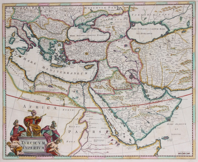
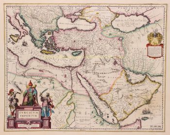
Carte de l'Empire ottoman 1680
Frederick de Wit
€ 800
Inter-Antiquariaat Mefferdt & De Jonge
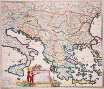
- Sur l'oeuvre d'artOTTOMAN EMPIRE MAP "Turcicum Imperium". Copper engraving published by Frederick de Wit in Amsterdam, approx. 1680. Original hand colouring. Size: 45,4 x 55,7cm. Nice old color example of De Wit's map of the Turkish Empire, based upon Blaeu's map of a similar title. The map covers the Ottoman Empire at the height of its power. The map extends from Sardinia and Italy in the West to the Black & Caspian Seas in the North and the Gulf of Aden, Red Sea and Arabian peninsula in the South. It is filled with place names, topographical features, and notes. It is embellished with a fine title cartouche with three Ottomans. Price: Euro 800,-
- Sur l'artisteFrederik de Wit est né Frederik Hendriksz. Il est né dans une famille protestante vers 1629, à Gouda, une petite ville de la province de Hollande, l'une des sept provinces unies des Pays-Bas. Son père Hendrik Fredericsz (1608 - 29 juillet 1668) était un hechtmaecker (fabricant de manche de couteau) d'Amsterdam, et sa mère Neeltij Joosten (décédée avant 1658) était la fille d'un marchand de Gouda. Frederik s'est marié le 29 août 1661 à Maria van der Way (1632–1711), fille d'un riche marchand catholique d'Amsterdam. D'environ 1648 jusqu'à sa mort à la fin de juillet 1706, De Wit a vécu et travaillé à Amsterdam. Frederik et Maria ont eu sept enfants, mais un seul Franciscus Xaverius (1666–1727) leur a survécu. En 1648, au plus fort de l'âge d'or néerlandais, De Wit avait déménagé de Gouda à Amsterdam. Dès 1654, il avait ouvert une imprimerie et une boutique sous le nom de "De Drie Crabben" (les Trois Crabes) qui était aussi le nom de sa maison sur la Kalverstraat. En 1655, De Wit change le nom de sa boutique en "Witte Pascaert" (la charte blanche). Sous ce nom, De Wit et son entreprise se sont fait connaître dans le monde entier.
Êtes-vous intéressé par l'achat de cette oeuvre?
Artwork details
Catégorie
Related artworks
- 1 - 4 / 4
- 1 - 4 / 24
- 1 - 4 / 12

