Amstelland  by Covens and Mortier
Scroll to zoom, click for slideshow

Amstelland 1749

Covens and Mortier

Print
52 ⨯ 64 cm
€ 1.950

Inter-Antiquariaat Mefferdt & De Jonge

  • About the artwork
    Carte Particuliere d'Amstelland ou les Environs d'Amsterdam, Muyden, Weesp, Naarden &c. / PARTICULIERE KAART VAN AMSTELLANDT of het omleggende van Amsterdam, Muyden, Weesp, Naarden &c. [special map of the Amstelland area, or the surroundings of Amsterdam, Muiden, Weesp, Naarden, etc.) Copper engraving published in 1749 by Johannes Covens and Cornelis Mortier in Amsterdam. Coloured by a later hand. Size: 52 x 64,5 cm. This map shows the area south of Amsterdam where peat extraction has been taking place since about 1530. The increasing population and shrinking forest area had created a growing demand for peat as fuel. Entire villages perished from starvation for fuel. (See the "Geweeze Dorp Tamen -former village Tamen- north of Uithoorn.) The peat was dredged from below the water level and dried and processed on the narrow so called legakkers. The puddles created by peat (indicated on the map by with a frayed edge) are clearly visible at the bottom left of the map. Bijlmermeer, Naardermeer, Horstermeer and Haarlemmermeer (with smooth banks) on the other hand, were originally natural lakes in the peat area. Of all these ponds and lakes, only the Naardermeer is still a wetland. Literature: Donkersloot-De Vrij "De Vechtstreek" (1985), pp 110-111 Heinemeijer/Wagenaar "Amsterdam in kaarten" (1987), pp 98-101. Price: Euro 1.950,- (incl. frame)  
  • About the artist

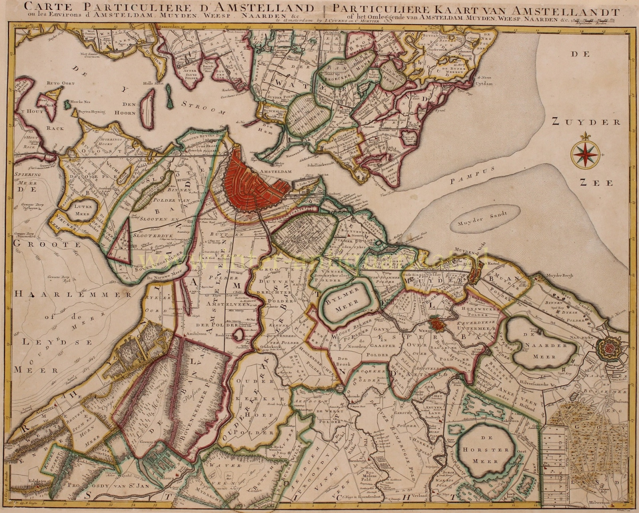
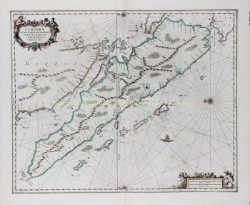
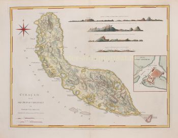
    Covens and Mortier (1721 - c. 1862) was an Amsterdam publishing firm, the successor to the extensive publishing empire built by Pierre Mortier (1661 - 1711).

    Covens and Mortier map are often criticized as derivative - but this is not fully the case. Pierre Mortier lived in Paris from 1681 to 1685. There he established close relationships the the greatest French cartographers of the era, including De L'Isle and D'Anville.

    His business model was based upon leveraging Dutch printing technology and sophistication to co-publish state of the art French cartography. Upon Mortier's death in 1711 his firm was taken over by his son, Cornelius Mortier (1699 - 1783). Cornelius married the sister of Johannes Covens (1697 - 1774) in 1721 and, partnering with his brother in law, established the Covens and Mortier firm.

    Under the Covens and Mortier imprint, Cornelius and Johannes continued in Pierre's model of publishing the most up-to-date French works with permission. They quickly became one of the largest and most prolific Dutch publishing concerns of the 18th century.

    The firm and its successors published thousands of maps over a 120 year period from 1721 to the mid-1800s. During their long lifespan the Covens and Mortier firm published as Covens and Mortier (1721 - 1778), J. Covens and Son (1778 - 94) and Mortier, Covens and Son (1794 - c. 1862).

Are you interested in buying this artwork?

Artwork details

Category
Subject
Material & Technique