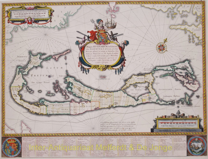
Bermuda map 1630
Willem Janszoon Blaeu
€ 2.250
Inter-Antiquariaat Mefferdt & De Jonge
- About the artworkMappa Aestivarum Insularum, alias BarmudasPublished by Willem Blaeu in Amsterdam approx. 1630. Blaeu based his work on John Speed's very accurate map of 1626-1627. It shows the island divided into tribes and lots. Below the map itself appear the names of the first proprietors and the number of shares assigned to each. A splendid cartouche shows Neptune astride the Royal Arms holding a ship. The miniature map below the cartouche shows the correct proportion of the island to the coast of the mainland. Further adorned with scale cartouches, coats of arms and compass rose with a fleur-de-lys. The map is superimposed over a map of the Atlantic with the coastlines of Britain, North America and Hispanola showing the location of Bermuda. Coloured by a later hand. Size: 40,4 x 53,1 cm. Price: Euro2.250,- (excl. VAT/BTW)
- About the artist
"Willem Janszoon Blaeu and his son Joan epitomised the 'golden age' of Dutch cartography. Working during the seventeenth century, Willem Blaeu drew a number of ground-breaking maps and published the first atlas.
He was born in 1571 in Amsterdam and worked initially as a clerk in the family herring trade. However, he was not happy with his occupation and left home in 1594 to study mathematics under Tycho Brahe, the famous astronomer. Blaeu was a good student who much impressed his tutor, and when his studies were completed he returned to Amsterdam and set up business as a map maker. His business flourished and his reputation grew. He was the first map-maker to produce single sheet maps of many European countries.
In 1605 he made a wall map of the world, encompassing 20 sheets, each 8 feet across. This map was by far the most accurate of the period and made an outstanding contribution to knowledge of world geography.
His map remained the most accurate until 1648, when his son, Joan, who also became a famous map-maker, updated it. But his major achievement was the production of the first atlas in 1630. The name Blaeu was actually a family nickname which Willem took up after confusion had occurred between himself and his great rival Joannes Jansonius."
Are you interested in buying this artwork?
Artwork details
Related artworks
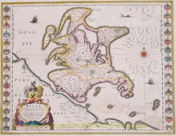
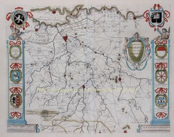
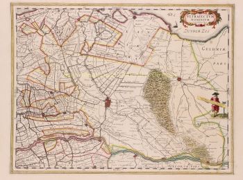
- 1 - 4 / 8
- 1 - 4 / 24
- 1 - 4 / 12

