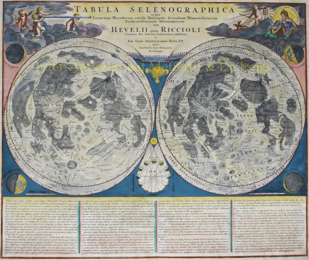
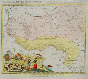
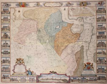
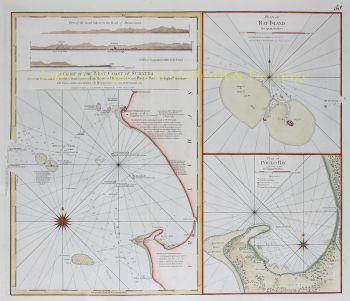
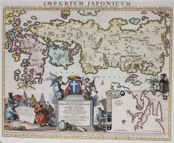
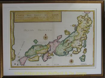
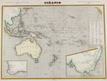
Johann Baptist Homann (1664-1724) fut un cartographe, graveur et éditeur allemand de premier plan du début du XVIIIe siècle, considéré comme l'un des cartographes les plus influents de son temps. Né à Oberkammlach en Bavière, il fit ses premières études dans une école jésuite avant de se convertir au protestantisme – une décision qui allait marquer son parcours personnel et professionnel.Johann Baptist Homann (1664-1724) fut un cartographe, graveur et éditeur allemand de premier plan du début du XVIIIe siècle, considéré comme l'un des cartographes les plus influents de son temps. Né à Oberkammlach en Bavière, il fit ses premières études dans une école jésuite avant de se convertir au protestantisme – une décision qui allait marquer son parcours personnel et professionnel.
Homann commença sa carrière comme notaire à Nuremberg en 1687, mais se tourna rapidement vers la gravure et la cartographie, animé par un intérêt croissant pour la géographie et la représentation visuelle du savoir. Après une période formatrice à Vienne entre 1693 et 1695, il retourna à Nuremberg, où il fonda sa propre maison d'édition en 1702. Ce fut le début d'une carrière extrêmement productive et influente.
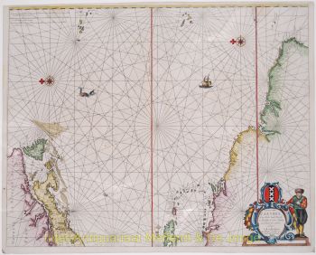
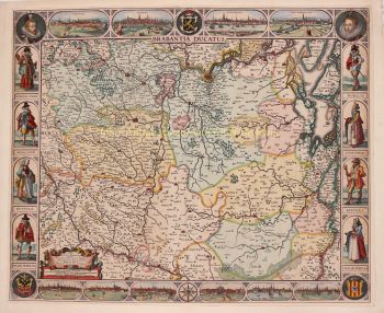
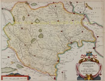
Ses cartes furent rapidement reconnues pour leur précision, leur clarté et leur richesse décorative, alliant rigueur scientifique et ornementation baroque élaborée. La réputation d'Homann lui valut d'être nommé géographe impérial par l'empereur Charles VI en 1715, puis élu à l'Académie prussienne des sciences de Berlin, en reconnaissance de sa contribution au progrès des connaissances géographiques.
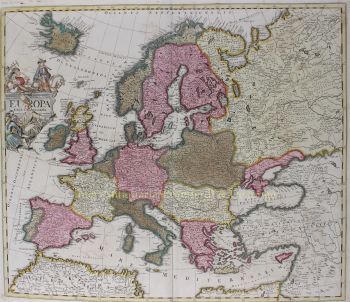
En 1716, Homann publia son œuvre la plus célèbre, le Grosser Atlas über die ganze Welt (Grand Atlas du monde), un recueil de cartes ambitieux et exhaustif qui consolida sa réputation. Nombre de ces ouvrages furent réalisés en collaboration avec le graveur Christoph Weigel l'Ancien. Par sa maison d'édition et sa production cartographique, Homann joua un rôle central dans l'établissement de Nuremberg comme centre majeur de production cartographique en Europe.