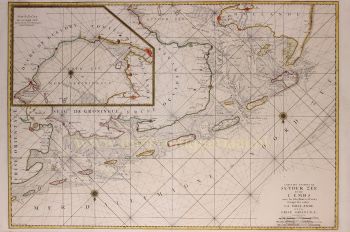
World map 1606
Willem Janszoon Blaeu
EncrerPapierImprimer
41 ⨯ 55 cm
€ 11.500
Inter-Antiquariaat Mefferdt & De Jonge
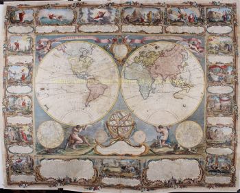
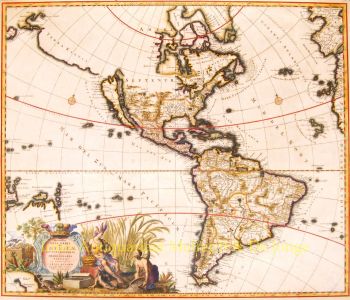
- Sur l'oeuvre d'artICONIC WORLD MAP BY WILLEM BLAEU "Nova Totius Terrarum Orbis Geographica Ac Hydrographica Tabula" copper engraving first published in 1606 by Willem Blaeu in Amsterdam. Coloured by a later hand. Size: 55 x 41 cm. Nice example of Blaeu's classic world map in the so-called Mercator projection. This is one of the most famous landmarks of 17th-century cartography. Engraved and signed by Joshua van den Ende, reduced from Blaeu's wall map of 1605, it first appeared as a separate publication in 1606. In 1630 it was incorporated into Willem Blaeu's "Atlantis Appendix" and then into the "Atlas Novus" in all subsequent editions until 1658. Its influence was enormous, and it was closely copied by some of the greatest Dutch cartographers, such as Pieter van der Keere and Johannes Janssonius. Others, such as the house of Hondius, were forced to produce their own highly decorative maps to compete. Geographically, the map was a reduction of Blaeu's large map of the world published in 1605. The charming cartouche in the interior of North America mentions its discovery by Columbus in 1492 and being named after Amerigo Vespucci in 1499. There is some confusion in the depiction of the landmass of the East coast of the United States, probably as a result of Indian reports of large bodies of water inland, almost certainly the Great Lakes. California is correctly shown as a peninsula. The Le Maire straits, separating Tierra del Fuego from South America, copied from an earlier map by Hondius, are clearly shown. In the north, a note beside "Nova Zembla" in the Arctic declares that it was reached by Willem Barentsz in 1596. In the Far East Korea is shown as an island and northern Australia is shown without any place names. Decoratively the most striking features of this map are the magnificent and innovative panelled borders. The upper border shows allegorical figures of the sun and moon and the five known planets; Mercury, Venus, Mars, Jupiter and Saturn. Along the bottom border are depictions of the seven wonders of the ancient world; the Hanging Gardens of Babylon, the Colossus of Rhodes, the Great Pyramid at Giza, the Mausoleum at Hallicarnassus, the Temple of Artemis at Ephesus, the Statue of Zeus at Olympia and the Lighthouse of Alexandria. Running down the left hand side of the map are representations of the four elements (Fire, Air, Water and Earth) and on the right, the Four Seasons. In the cartouche in the lower right Blaeu dedicated the map to Cornelis Hooft, the Dutch merchant and Amsterdam regent during the Golden Age. . Reference : Rodney Shirley "The Mapping of the World', no. 255 Price: Euro 11.500,-
- Sur l'artiste
"Willem Janszoon Blaeu et son fils Joan ont incarné "l'âge d'or" de la cartographie néerlandaise. Travaillant au XVIIe siècle, Willem Blaeu a dessiné un certain nombre de cartes révolutionnaires et publié le premier atlas.
Il est né en 1571 à Amsterdam et a d'abord travaillé comme commis dans le commerce familial du hareng. Cependant, il n'était pas satisfait de son occupation et quitta la maison en 1594 pour étudier les mathématiques avec Tycho Brahe, le célèbre astronome. Blaeu était un bon élève qui impressionnait beaucoup son tuteur, et quand ses études furent terminées, il retourna à Amsterdam et s'installa comme cartographe. Son entreprise a prospéré et sa réputation a grandi. Il a été le premier cartographe à produire des cartes à feuille unique de nombreux pays européens.
En 1605, il a fait une carte murale du monde, englobant 20 feuilles, chacune de 8 pieds de diamètre. Cette carte était de loin la plus précise de l'époque et apporta une contribution remarquable à la connaissance de la géographie mondiale.
Sa carte est restée la plus précise jusqu'en 1648, lorsque son fils, Joan, qui est également devenu un célèbre cartographe, l'a mise à jour. Mais sa plus grande réalisation fut la production du premier atlas en 1630. Le nom Blaeu était en fait un surnom de famille que Willem prit après une confusion entre lui et son grand rival Joannes Jansonius.
Êtes-vous intéressé par l'achat de cette oeuvre?
Artwork details
Related artworks
- 1 - 4 / 8
Cornelis Anthonisz Theunissen
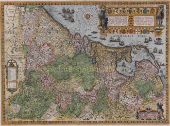
ZEER ZELDZAME EERSTE GEDRUKTE KAART VAN AMSTERDAM, EEN STAD IN OPKOMST1544
€ 175.000Inter-Antiquariaat Mefferdt & De Jonge
 Gecureerd door
Danny Bree
1 - 4 / 24Onbekende Kunstenaar
Japanese transition-style lacquer coffer 1640 - 1650
Prijs op aanvraagZebregs & Röell - Fine Art - Antiques
Onbekende Kunstenaar
A silver spoon commemorating Juff’ Margareta van Hoorn1656 - 1694
Prijs op aanvraagZebregs & Röell - Fine Art - Antiques
Onbekende Kunstenaar
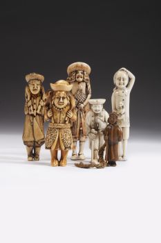
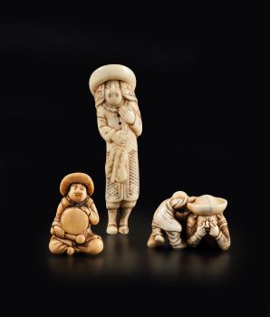
Dutchmen in miniature (Netsuke)1700 - 1900
Prijs op aanvraagZebregs & Röell - Fine Art - Antiques
Onbekende Kunstenaar
Hollanders in Miniatuur18th century
Prijs op aanvraagZebregs & Röell - Fine Art - Antiques
Onbekende Kunstenaar
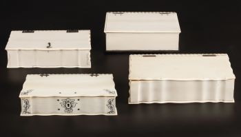
EEN COLLECTIE VAN VIER SRI LANKAANSE IVOREN BIJBEL DOZEN18th century
Prijs op aanvraagZebregs & Röell - Fine Art - Antiques
Onbekende Kunstenaar
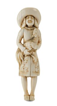
EEN IVOREN NETSUKE VAN EEN NEDERLANDER MET EEN HAAN18th century
Prijs op aanvraagZebregs & Röell - Fine Art - Antiques
1 - 4 / 24William Rosewood
She Loves Me, She Loves Me Not2019 - 2020
Prijs op aanvraagGalerie Mia Joosten Amsterdam
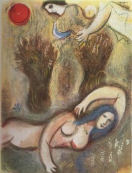
Marc Chagall
Booz se reveille et voit Ruth a ses Pieds1952 - 1980
Prijs op aanvraagArthouse Marc Chagall
1 - 4 / 24- 1 - 4 / 12


