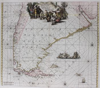
Spice Islands, Moluccas, Indonesia 1660
Johannes Janssonius
Currently unavailable via Gallerease
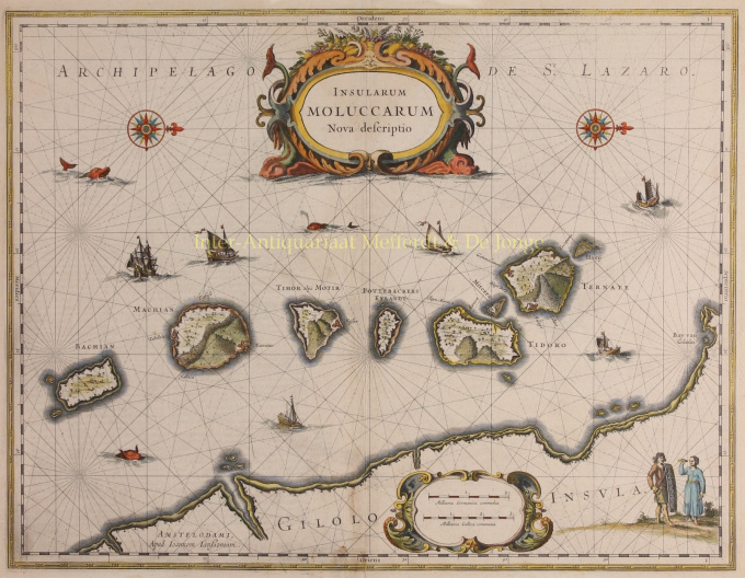
- About the artworkDETAILED MAP OF THE DUTCH-CONTROLLED SPICE ISLANDS “Insularum Moluccarum Nova Descriptio”, copper engraving published in Amsterdam by Jan Jansson [Johannes Janssonius] c. 1660, with original hand colouring. Size: 38 x 49,5. Fine map of the Spice Islands based on the description by Jan Huyghen van Linschoten. This map depicts the islands that provided, first the Portuguese and then the Dutch, with a monopoly on the lucrative spice trade. Each of the islands (Bacan, Makian, Moti, Mare -in Dutch times called "Pottebackers Eyland" [potters’ island], Tidore, Ternate and Hiri) is shown with groves of the prized clove and nutmeg trees and the location of their protective fortresses. Along the bottom of the map we see the coastline of Halmahera (in Dutch times known as Gilolo Island). The lower right corner features a Moluccan couple in Europeanized native dress. Indicative of the area’s commercial importance, Jansson has filled the seas with both European and local ships and sea monsters roam the Molucca Sea. Price: Euro 395,- (incl. frame)
- About the artist
Janssonius was born in Arnhem as the son of Jan Jansz, a printer and publisher there. At a young age he moved to Amsterdam, the then center of the printing and card trade. In 1612 he married Elisabeth Hondius, daughter of Jodocus Hondius. Elisabeth died in 1627 and Janssonius remarried in 1629 with Elisabeth Carlier. He went to work for his father-in-law and continued the publishing business together with Henricus Hondius (son of) after his death. This was developed into one of the largest of its time. There were branches in Berlin, Frankfurt, Geneva, Lyon and Stockholm, among others.
Under Janssonius' leadership, the Mercator-Hondius Atlas was expanded and published as Atlas Novus. This initially one-volume edition soon became a multi-volume atlas, supplemented on request with nautical charts and/or celestial charts. There were publications in Dutch, French, Spanish and Latin. Like his contemporaries, Janssonius also made use of existing copper plates, including those from the city books of Braun & Hogenberg and the Description de touts les Pays Bas (Description of all the Netherlands) by Lodovico Guicciardini - (Cornelis Claesz. edition) from 1609 Although Janssonius has often been accused of copying Willem Blaeu's work, it may be noted that maps by Janssonius also appeared on the market earlier.
After Janssonius' death, the firm was continued by his son-in-law, Johannes (Jan) van Waesbergen, who was married to his daughter Elisabeth Janssonius (1615-1681). Many copper plates of the city books were used (sometimes slightly modified) by Frederik de Wit. The building on Dam Square was leased to Gerard Valck; He also bought a number of printing plates in 1694.
Artwork details
Related artworks
- 1 - 4 / 5
- 1 - 4 / 24

